GeoHub as a data store
Importance of centralized database
Geospatial datasets tend to be playing a critical role on policy making, and we are putting a lot of efforts on maintain them at each department and country office.
--
However, these datasets have not been shared and reused effectively accross organizations.
--
Establishing GeoHub as a centralized database to manage all geospatial datasets into a location is one of the important purposes in UNDP.
How does GeoHub manage datasets?
GeoHub uses Azure - a cloud platform powered by Microsoft to manage geospatial datasets.
--
Your datasets will be uploaded into UNDP's Azure blob storage account through our data pipeline, and then the metadata will be registered into geopatial database (PostgreSQL/PostGIS).
--
The following diagram shows a sample workflow to upload and publish a dataset. Your data will be ingested to cloud optimized formats and stored in Azure securely.
if you are interested in seeing our database structure, please go to here.
In terms of the data pipeline, source code is managed at geohub-data-pipeline repository.
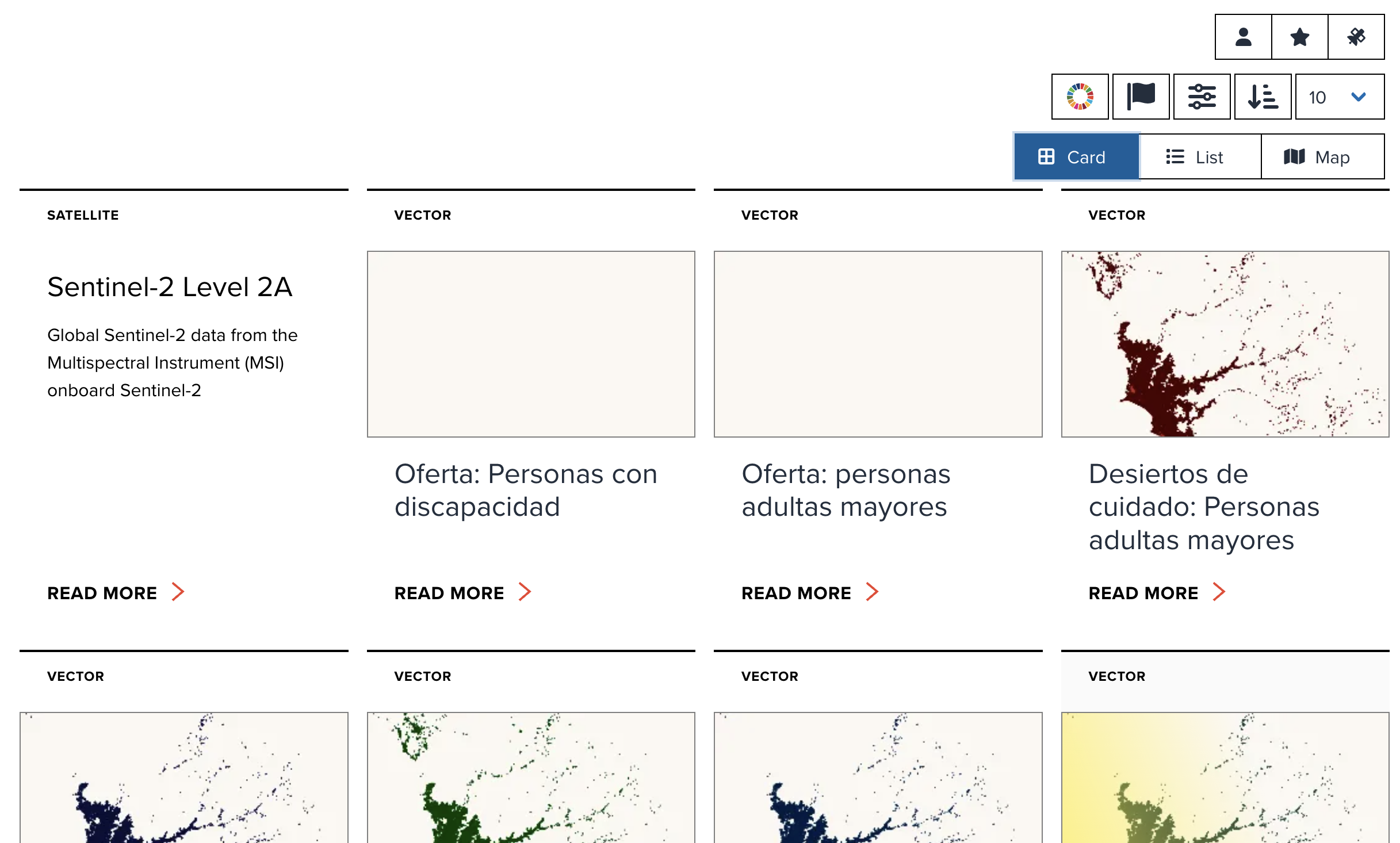
Datasets page at GeoHub
The datasets managed in GeoHub can be explored at datasets page (/data).
--
--
As of 21 March 2024,
- 4401 public datasets are currently managed at GeoHub.
- 4167 are global datasets,
- and 101 datasets are specifically related to countries.
- 4339 datasets are connected to SDGs (Sustainable Development Goals).
--
GeoHub also manages some of satellite imagery for earth observation from the third party providers.
Currently 16 satellite imagery collections (STAC (Spatio Temporal Asset Catalog)) are available in GeoHub.
--
The more GIS data uploaded, the more useful it becomes as a data store and analysis tool for decision making and all UN staff's works. Any user can upload data and enrich the GeoHub database.
Next step
From next section, we will show you how to upload and share your own datasets at GeoHub.