Labeling for vector data
Label tab
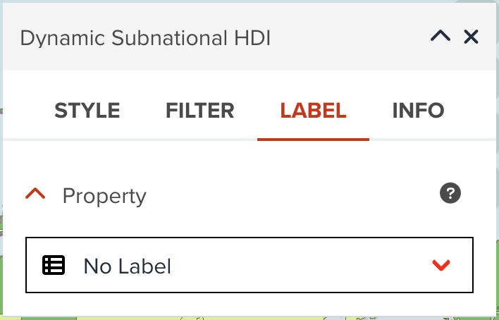
You can also add labels of selected property to the map.
As shown in the below, GeoHub does not create any labels as default. You can change No Label to your desired property to be shown as labels.
--
Once you select a property, other label options will appear as shown in the following figure.
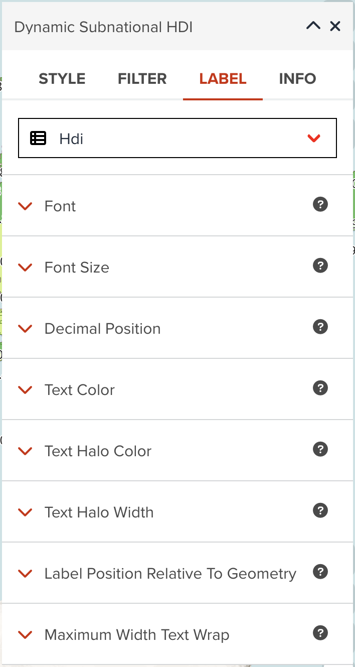
Font
There are several fonts (Proxima Nova, Roboto, Noto Sans and Open Sans) available in GeoHub. Open Sans Regular is selected, but you can choose any of fonts and font types (Regular, Bold, Italic, Bold Italic, etc) available in dropdown menu.
--
Font size
Font size in pixel can be changed from the default of 12 pixel.
--
Text color
You can assign a color or categorized colors for labels.
The color classification component is the same with color visualization of polygon.
--
Text halo color
The color of the text's halo, which helps it stand out from backgrounds can be changed. White color is used as default.
--
Text halo width
Distance of halo to the font outline can be adjusted. Max text halo width is ¼ of the font-size. 1 pixel is used as default.
--
Maximum width text wrap
The maximum line width for text wrapping can be adjusted. 10 ems is used as default value.
Next step
In this section, you have learned how to visualize vector layer for each layer type in detail. You are going to explore how you can visualize a raster layer in the next section.