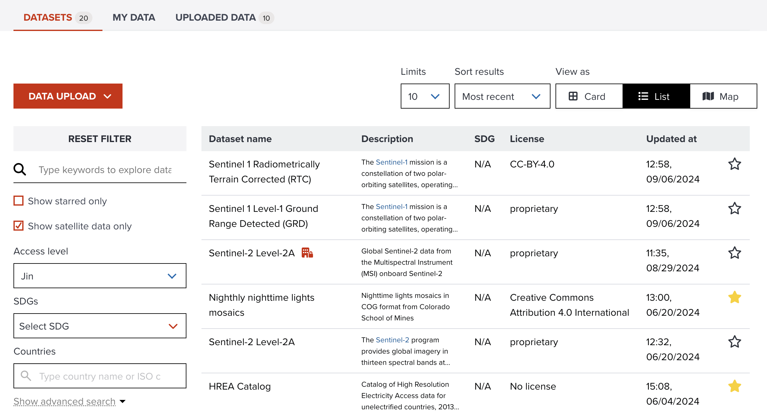
Searching satellite datasets
GeoHub supports various satellite datasets from third party providers such as Microsoft Planetary Computer and Maxar Open Data Program through STAC (Spatio Temporal Asset Catalog) API.
The full list of supported satellite data is available at Datasets page here.
--
--
Selected satellite dataset page is shown when you click a dataset on the table.
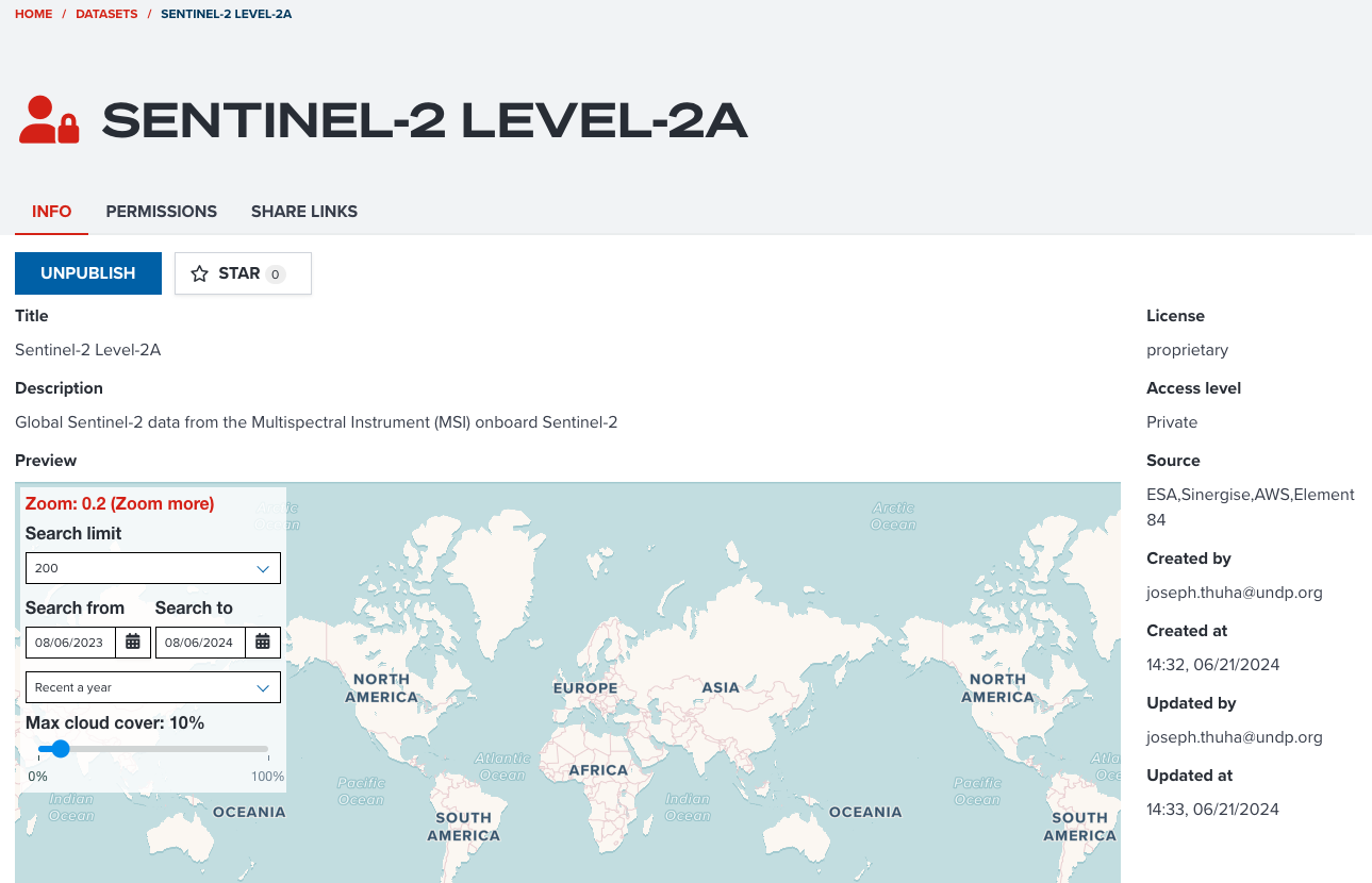
To search satellite imagery, go to PREVIEW section of INFO tab.
Types of satellite datasets
There are two types of satellite datasets either STAC API or STAC Catalog. The user interface to search datasets is slighly different depending on the type of satellite dataset.
STAC API
Couple of satellite data collections from Microsoft Planetary Computer and Earth Search are datasets of STAC API. This offers more flexible ways to search satellite imagery such as searching by datetime or cloud cover rate. We take a collection of Sentinel 2 from Microsoft to show you how to search imagery.
--
Sentinel-2 (Microsoft Planetary Computer)
Please open this link to visit Sentinel 2 collection from Microsoft. When the page is opened, please scroll to PREVIEW section.
Note
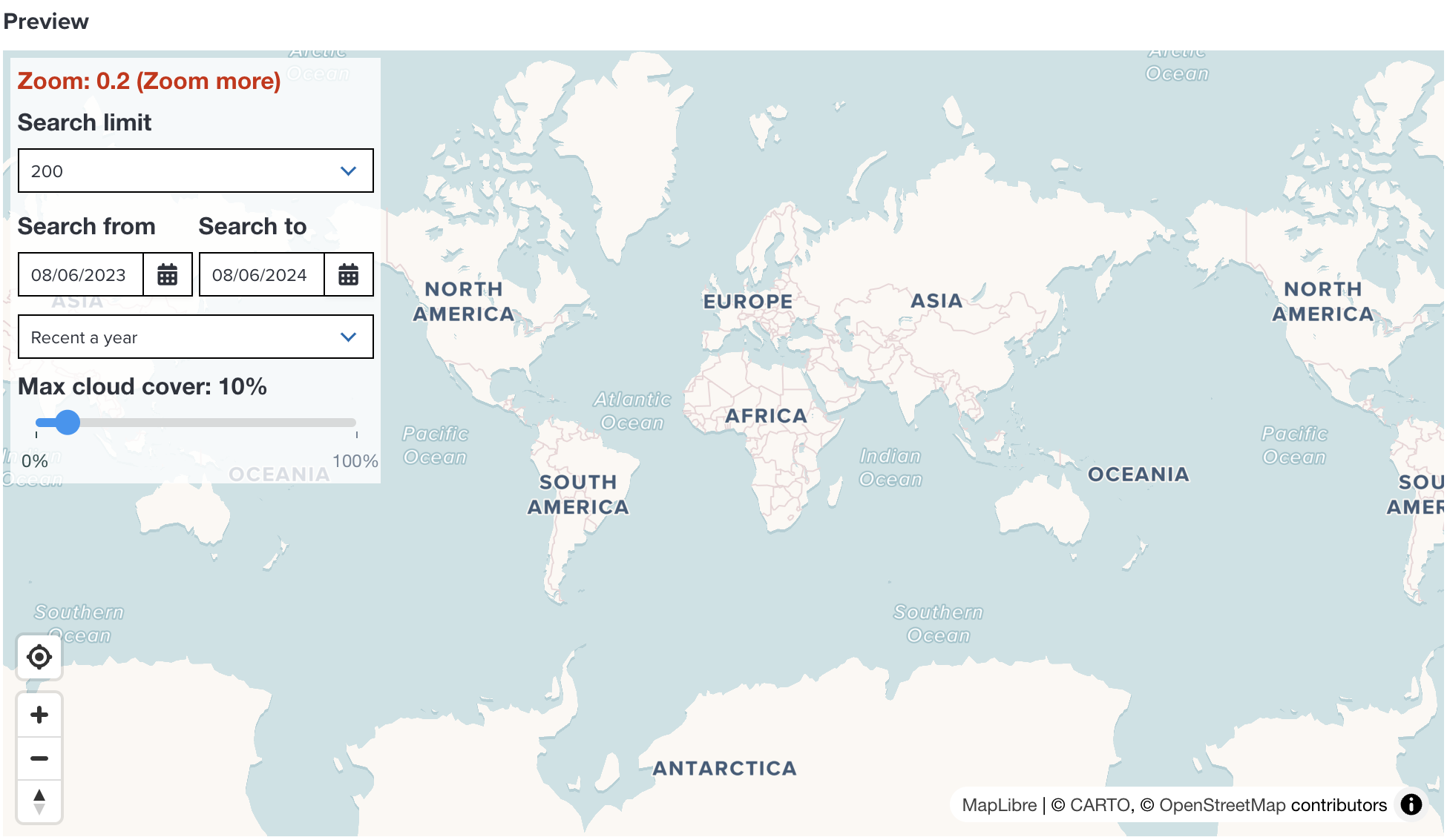
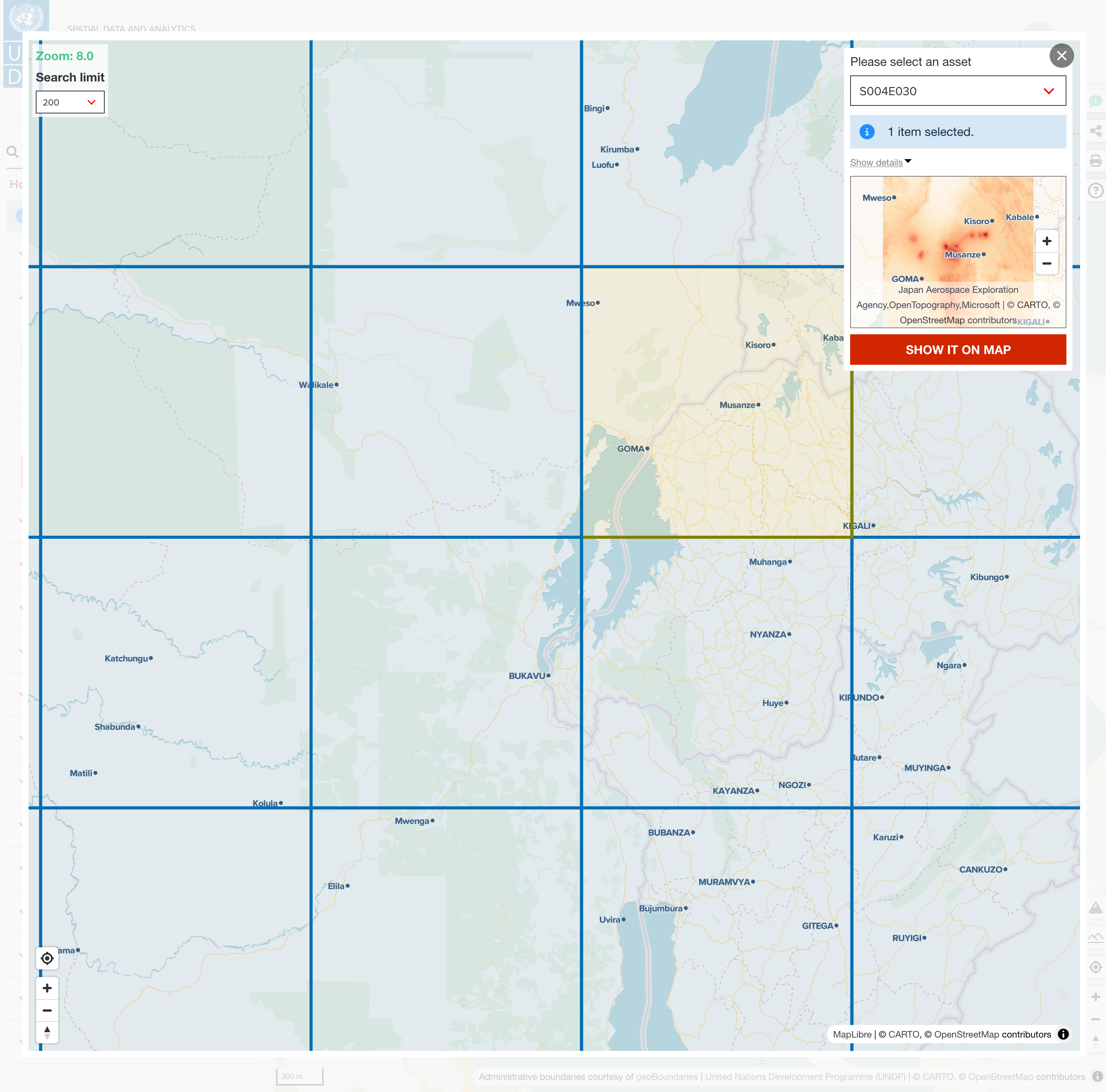
To start searching imageries, you need to zoom in to at least zoom level 5.
--
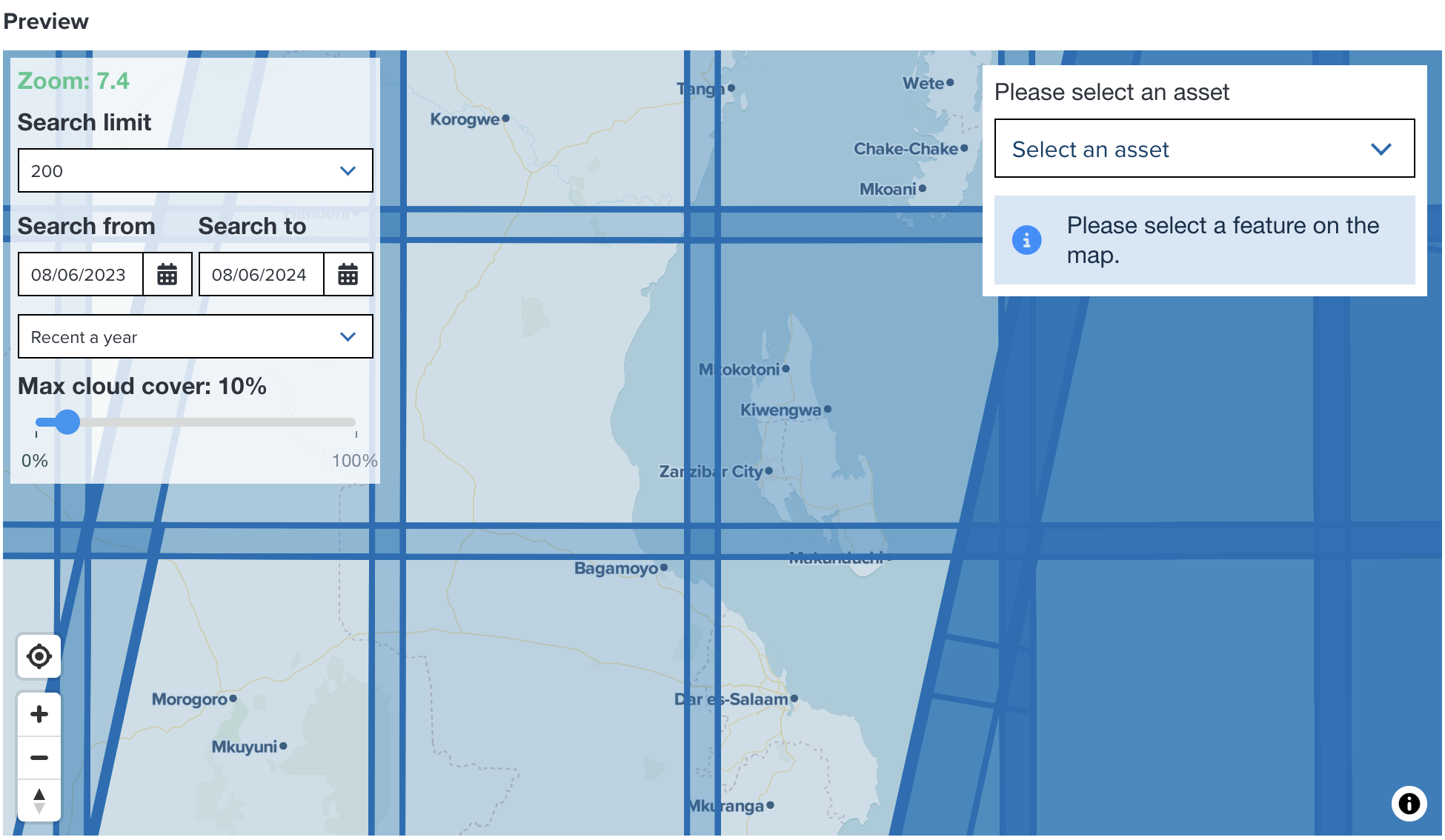
After zooming in to more than zoom level 5, satellite items are being shown on the map.
--
Select an item on the map. Then, continue selecting an asset from the select box on the top-right of the map.
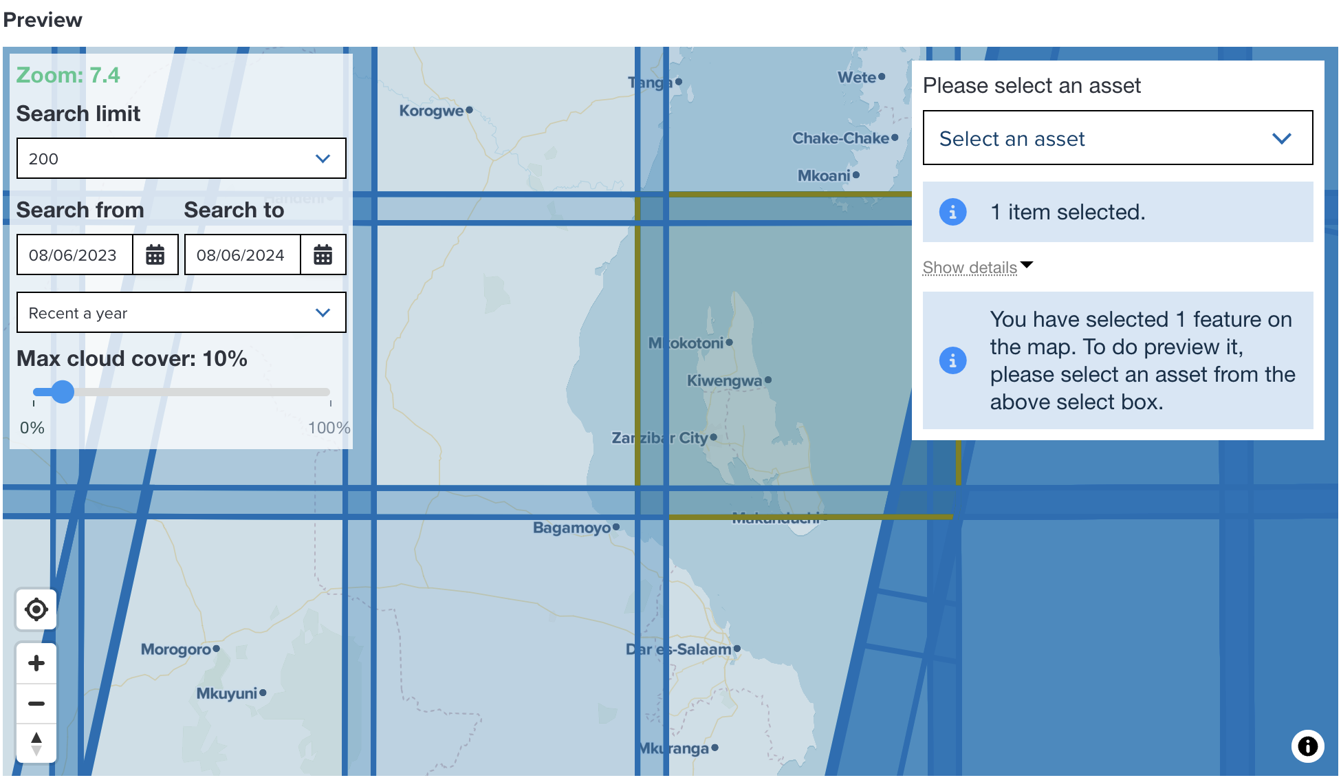
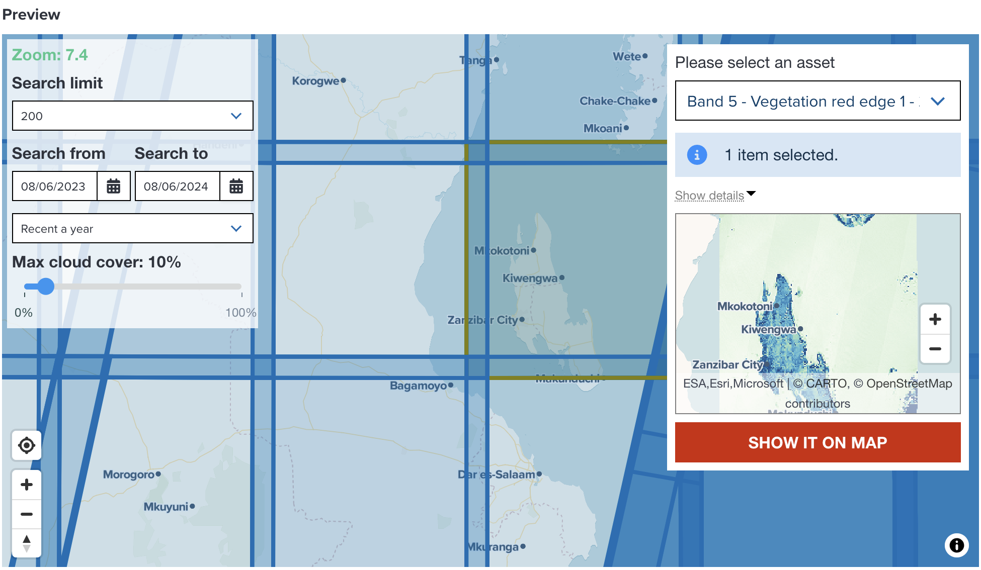
In this example, an item covering Zanzibar is selected. Select Band 5 - Vegetation red edge 1 for asset.
Note
If you select multiple items on the map, GeoHub will make a mosaic by combining multiple satellite imagery. However, please note the performance of making a mosaic might be much slower than selecting a single item.
--
After selecting an asset, the preview map is shown under select box. If you wish to add it to map, click Show it on map button.
--
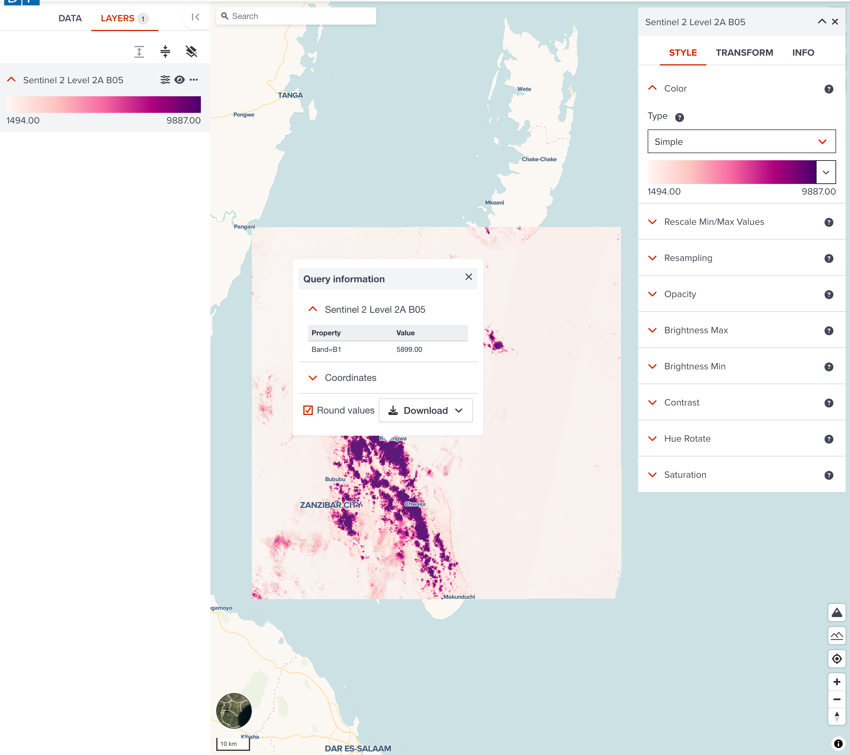
Then, your selected satellite imagery will be added to Map page of GeoHub. You can follow the steps of visualization to make it look better.
STAC Catalog
Unlike STAC API, satellite collections of STAC catalog is a static satellite imagery repository. It has less flexible to search satellite imagery. Here, we use Maxar Open Data Program catalog as an example to explore how you can search an imagery.
--
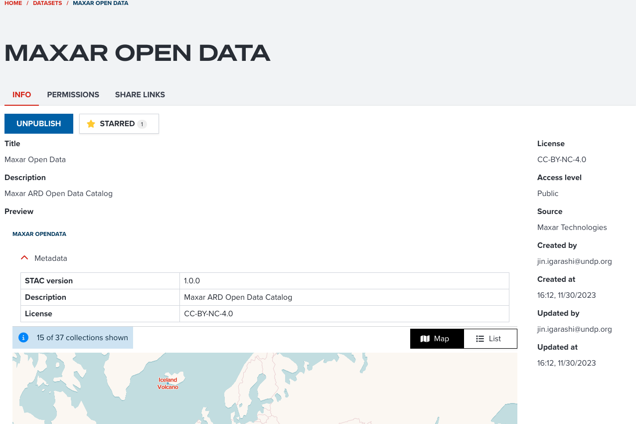
Maxar Open Data Program
Please open this link to visit Maxar Open Data catalog. When the page is opened, please move to PREVIEW section.
--
There are Map view and List view. You can use your prefered view type to explore imageries. Here, we use Map view to explore them.
Please zoom to DRC Congo to select Kalehe DRC Flooding 2023 collection.
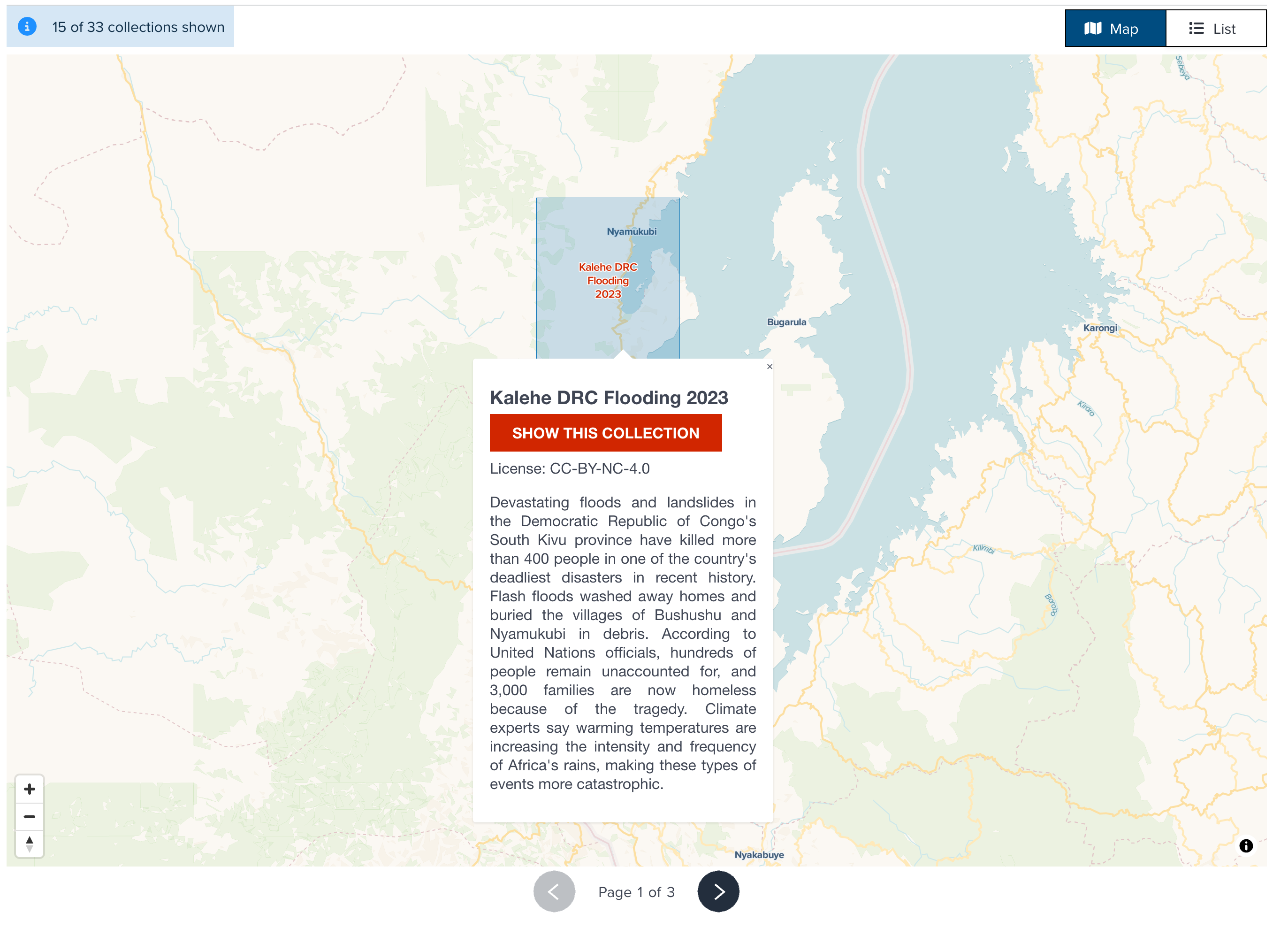
--
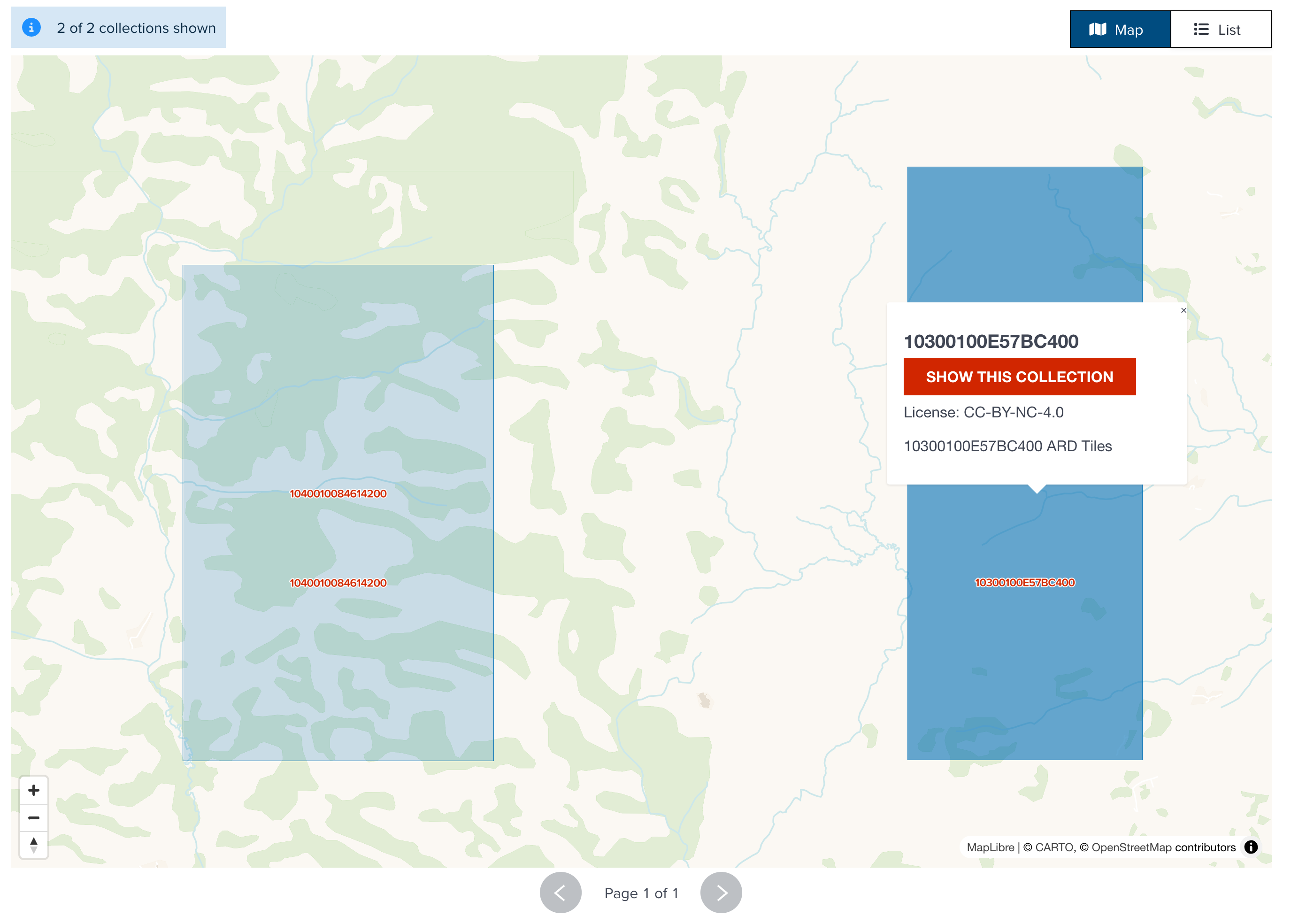
Click Show This Collection button, it will be showing the next step. Select the collection in the right side (10300100E57BC400).
--
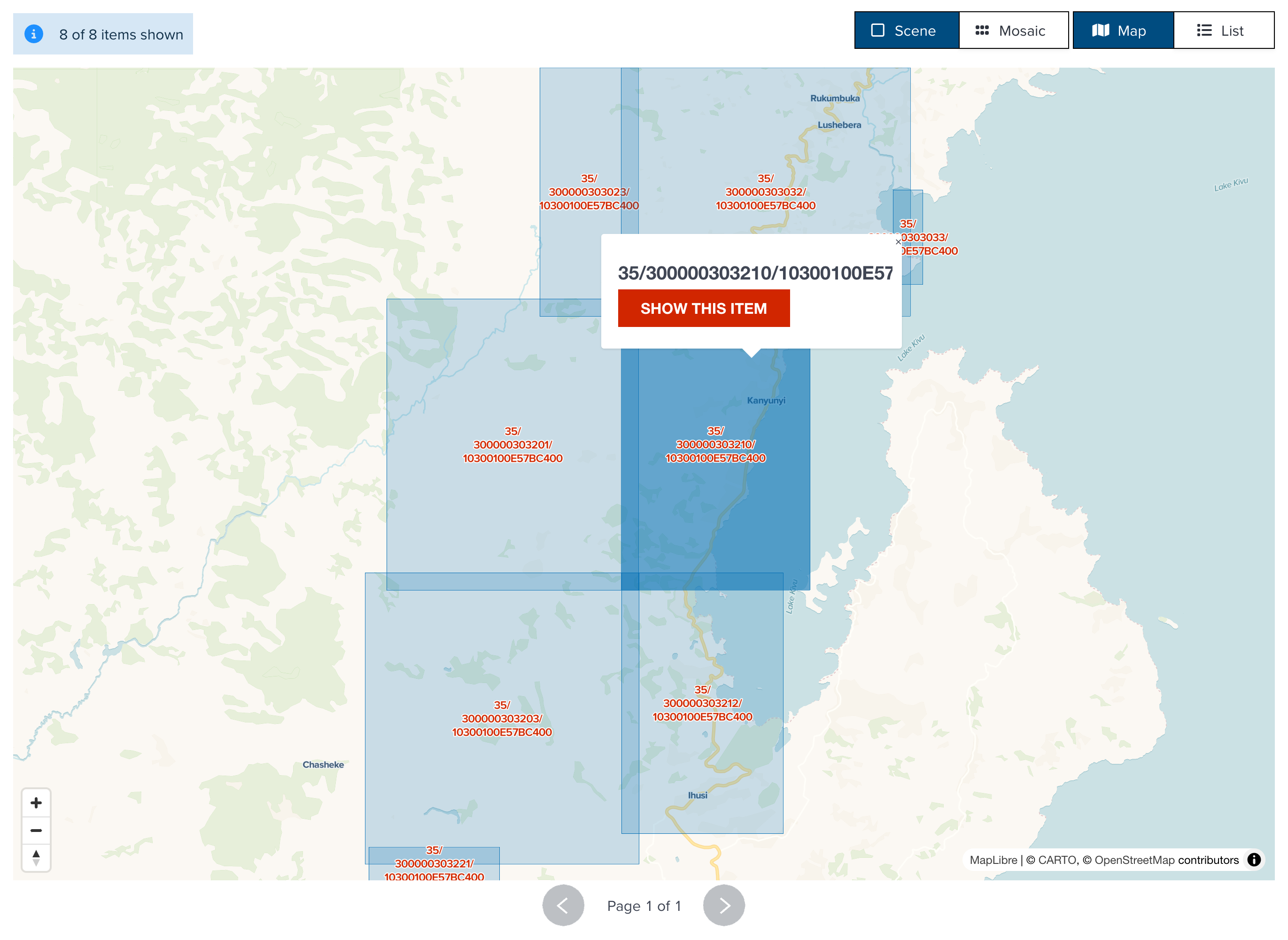
In this STAC catalog, now you can select an satellite imagery (or multiple imageries as a mosaic). Select one of them, continue clicking Show this item button.
Note
How many collections or catalogs are nested is depending on the data provider's imeplementation. Some of STAC catalog might have 3 or 4 collections nested. You can continue selecting a colleciton or a catalog until you reach item level.
--
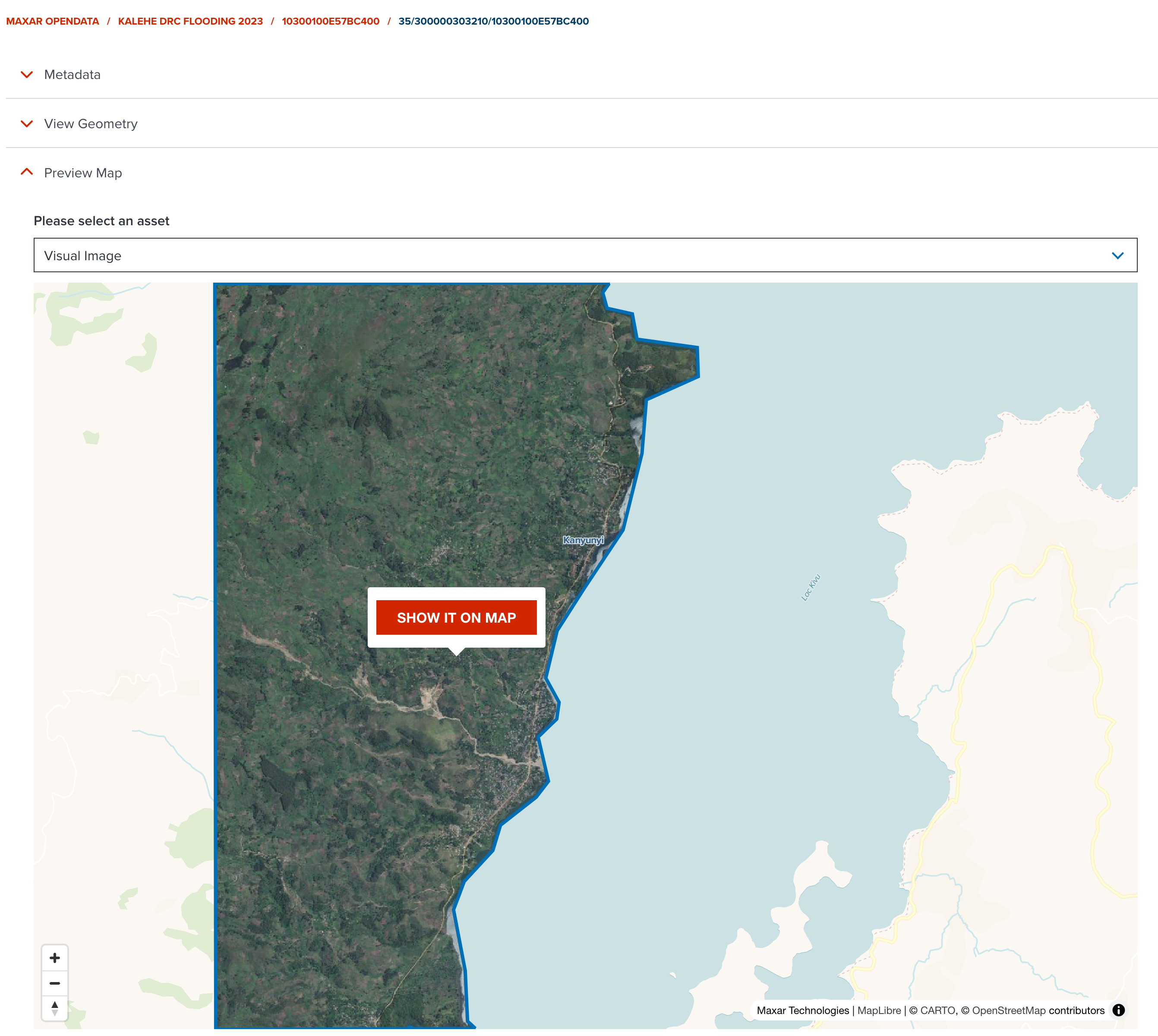
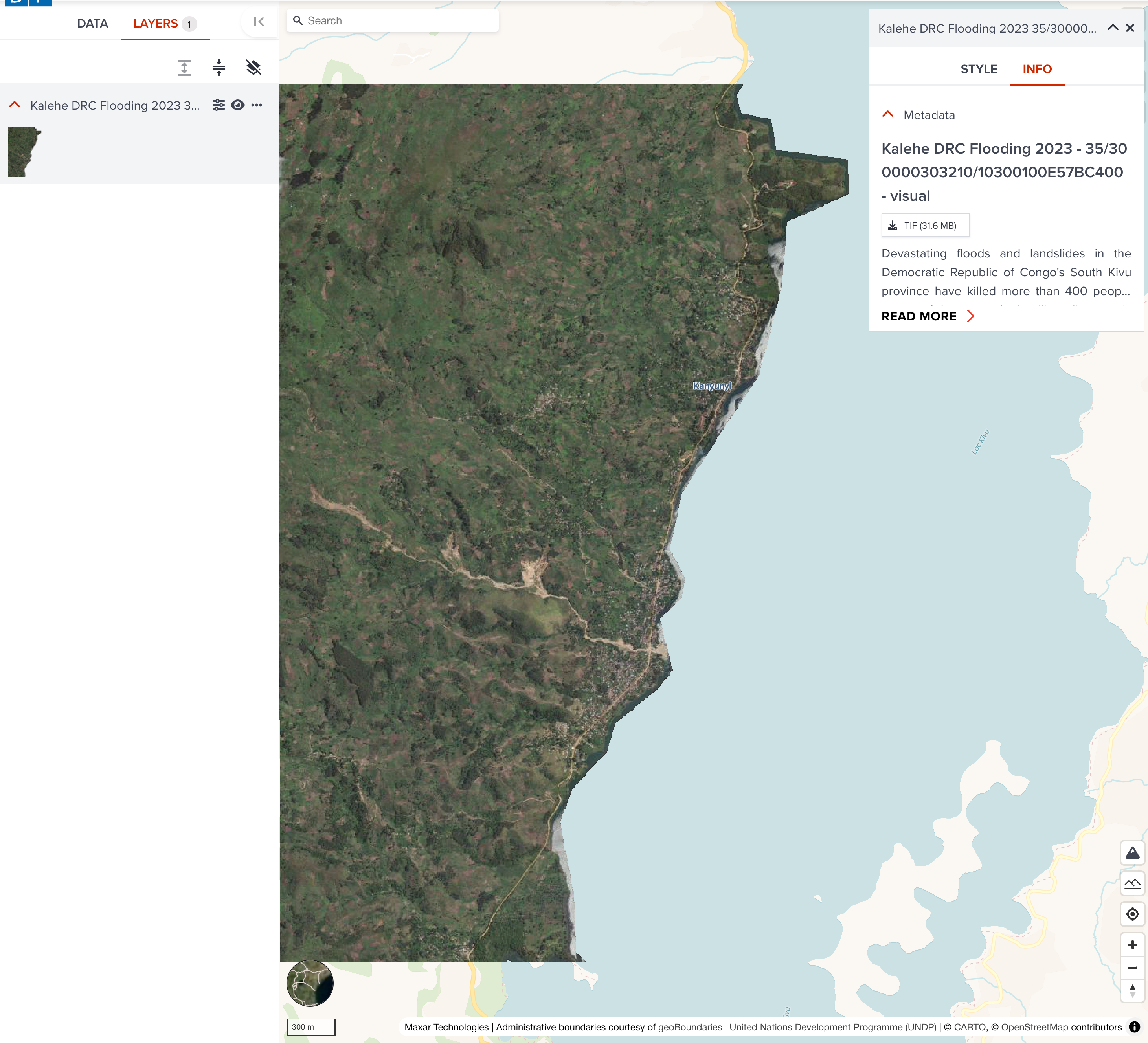
Now you can see a preview map for your selected item. If you wish to add it to map, click Show it on map button.
Note
If available assets contain the keyword of Visual, true color image asset will be selected automatically. Please select an asset per your preference.
--
You selected satellite imagery is now added to map page. You can do your own visualization.
Search satellite imagery on Map page
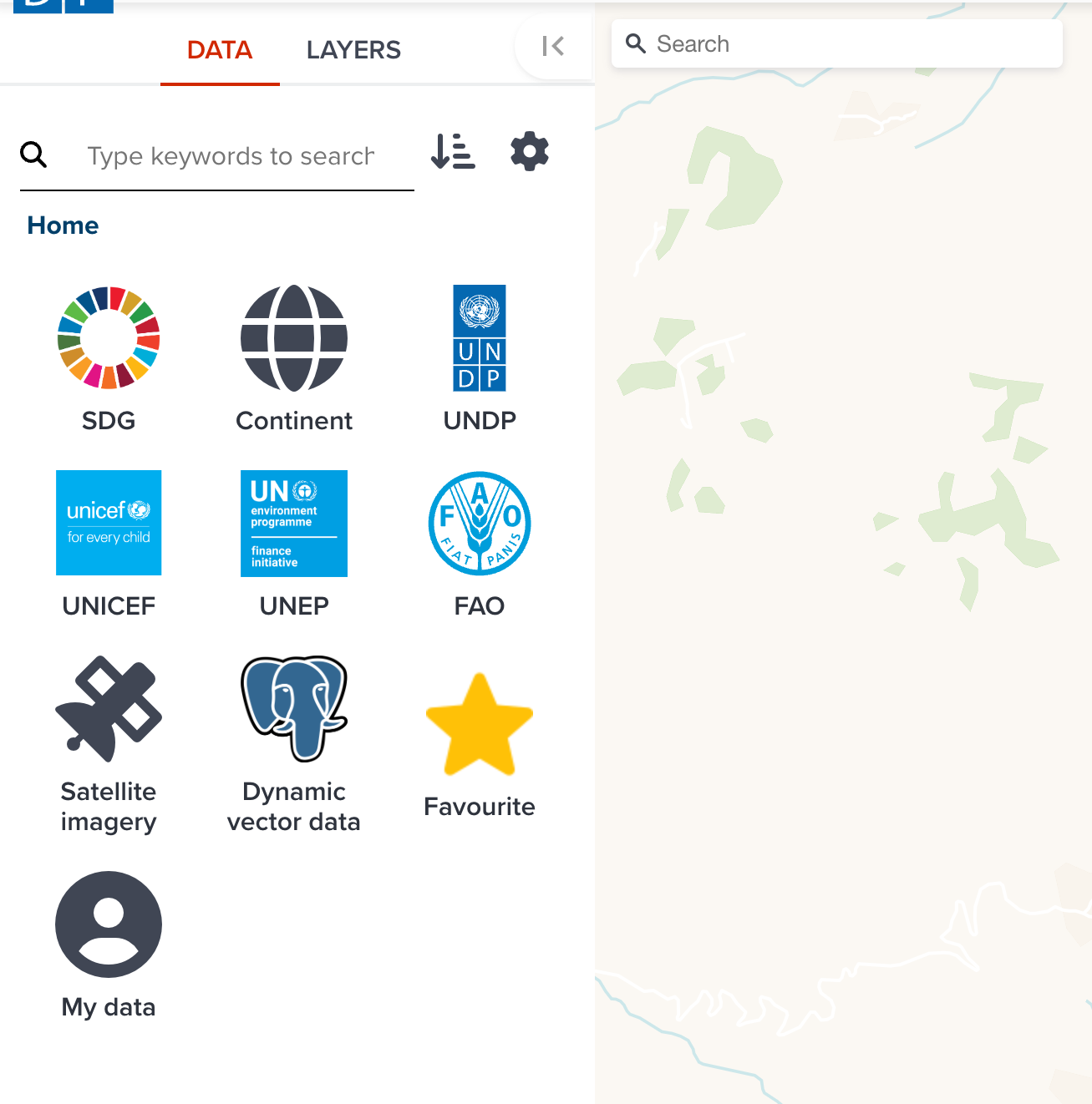
There is an alternative way of searching satellite imagery on DATA tab of Map page.
Firstly, please open a blank map editor
--
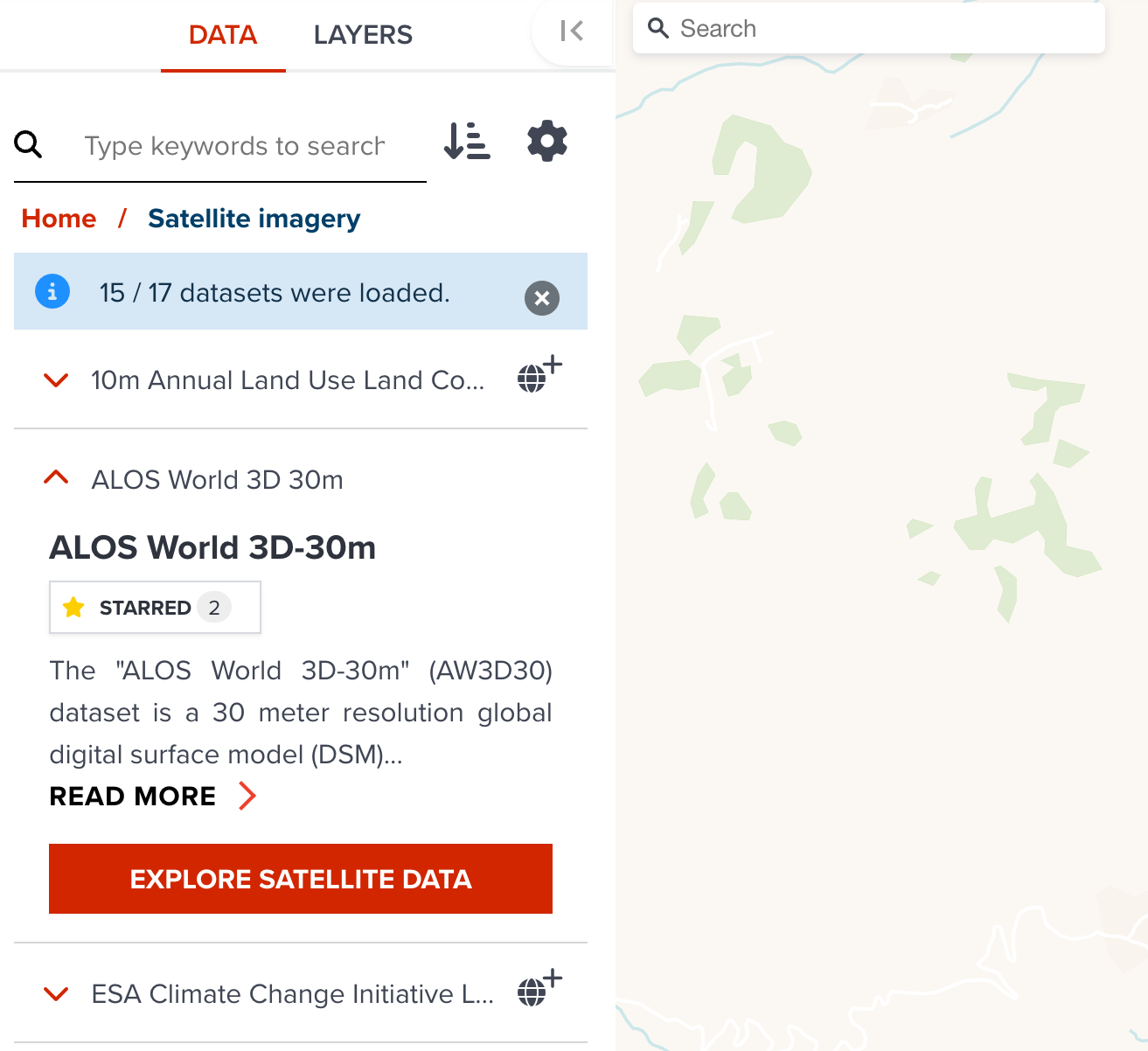
Click Satellite Imagery bucket in Data tab.
--
Click  button in header or click
--
The same STAC explorer either API or Catalog is shown as a popup.
Next step
In next section, we are going to explore some of existing datasets at GeoHub.